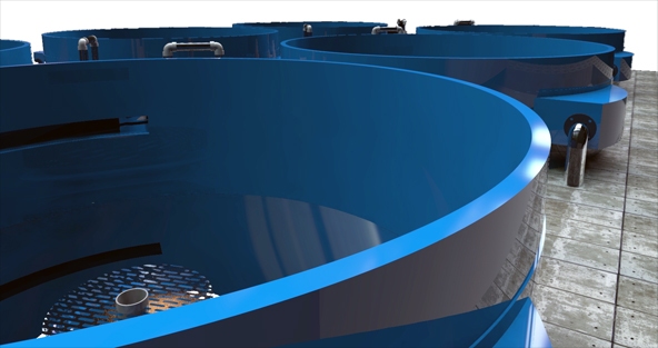
3D Computer Aided Design
All projects undertaken are planned using the very latest CAD software that includes integration of satelite imaging and Geographical Information Systems (GIS).
Find Us
- Central Complex,
Naggar Street
Targa Gap, Mosta
MST 1761, Malta G.C. - +356 2258 4100
- Contact:
- info@aquabt.com
- GDPR:
- privacy@aquabt.com

Copyright © 2016 AquaBioTech Group. All rights reserved.